Difference between revisions of "File:Baikonur raw.jpg"
Jump to navigation
Jump to search
(Satellite view of the baikonur region, based on the Landsat 7 data.) |
(Added category.) |
||
| Line 1: | Line 1: | ||
Satellite view of the baikonur region, based on the Landsat 7 data. | Satellite view of the baikonur region, based on the Landsat 7 data. | ||
| + | |||
| + | |||
| + | |||
| + | [[Category: Images]] | ||
Latest revision as of 00:55, 5 June 2021
Satellite view of the baikonur region, based on the Landsat 7 data.
File history
Click on a date/time to view the file as it appeared at that time.
| Date/Time | Thumbnail | Dimensions | User | Comment | |
|---|---|---|---|---|---|
| current | 22:31, 20 August 2006 | 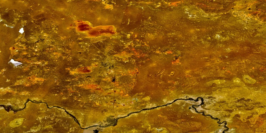 | 1,024 × 512 (163 KB) | Urwumpe (talk | contribs) | Satellite view of the baikonur region, based on the Landsat 7 data. |
You cannot overwrite this file.
File usage
The following page uses this file: